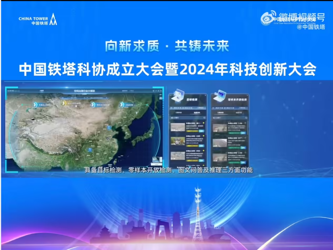
1AI fromChina TowerOfficials learned that at the China Tower 2024 Science and Technology Innovation Conference, "Longitude and Latitude Large Model"Officially released, it will serve in the field of spatial governance, such as "mountains, water, forests, fields, lakes, grass and sand".

It is based on self-supervised training of 270 million medium and high point unlabeled images, accuracy tuning of 229,000 medium and high point labeled images, and model parameters of 18 billion, compared to the average accuracy of small model target detectionUpgrade 16% or aboveIn addition, the average recall rate has increased by more than 13%, which reduces the number of underreporting to a greater extent.
The multimodal large model accomplishes downstream task accuracy tuning based on medium and high point visible text pairs, infrared text pairs, satellite remote sensing text pairs, radar text pairs and open source image text pairs. It has 200 billion parameters and supports three functions: target detection, zero-sample open detection, graphic Q&A and inference.
Where the target detection capability is consistent with the visual macromodel, zero-sample open detection is the ability toAchieve an average target detection accuracy of more than 91% without such target labeling samples for training.The graphic quiz and reasoning results are relevant and can meet actual business needs. Officials said that the large model has the conditions to be popularized and applied in emergency response, forestry and grassland, land, water conservancy, environmental protection, agriculture and other industries.